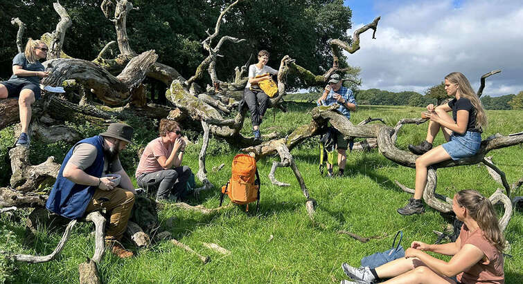
Naturvejleder 19.04.2024 Naturvejlederuddannelsen kommer til Djursland Uddannelses- og forskningsministeriet har meddelt, at Skovskolen nu også kan udbyde…
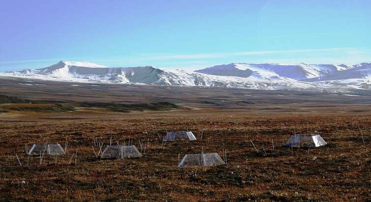
klima 17.04.2024 Verdens tundra udleder overraskende mere CO2, når det bliver varmere Når det bliver varmere, vil den arktiske tundra formentlig frigive 30% mere CO2, end den gør i dag.…
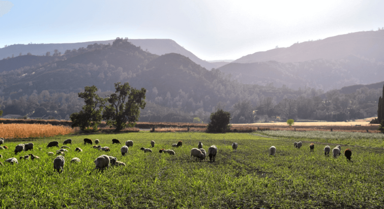
Landbrug 05.04.2024 ”Drop industri-landbrug”: Kæmpestudie fastslår at mennesker og miljø har bedst af varieret landbrug, men bundlinjen trives også Blandede dyrehold og afgrøder, blomsterstriber og naturområder, vand- og jordforbedringer og meget…
Geologi 21.03.2024 Nyt geologisk studie: Skandinavien er født ud af Grønland Den ældste del af Skandinaviens undergrund er oprindeligt ’født’ ud af Grønland, peger et nyt…